Rather than replicating the Adelaide grid pattern, Light took advantage of the natural topography of the Mt Lofty ranges to the east, and the river plains surrounding the North and South Para Rivers - which join together to form the Gawler River, flowing west out of the ranges.
These days Gawler marks the northern boundary of the Adelaide metropolitan area, being only 40 kms away from the centre, but in the nineteenth century that was a long way. Gawler therefore established a separate identity and economic destiny from Adelaide, becoming a vibrant and artistic community as well as the site of a substantial manufacturing industry. It formed the natural gateway to the northern agricultural regions and the Barossa Valley.
Since the Second World War, the town has suffered an identity crisis, being neither country town nor suburb of Adelaide. I can still remember the horse-hitching posts in the main street from childhood visits about 1960.
The population continues to grow and the main street is now totally urban. But get away from the main street and you could be in one of the old Victorian country towns of South Australia's mid-North.
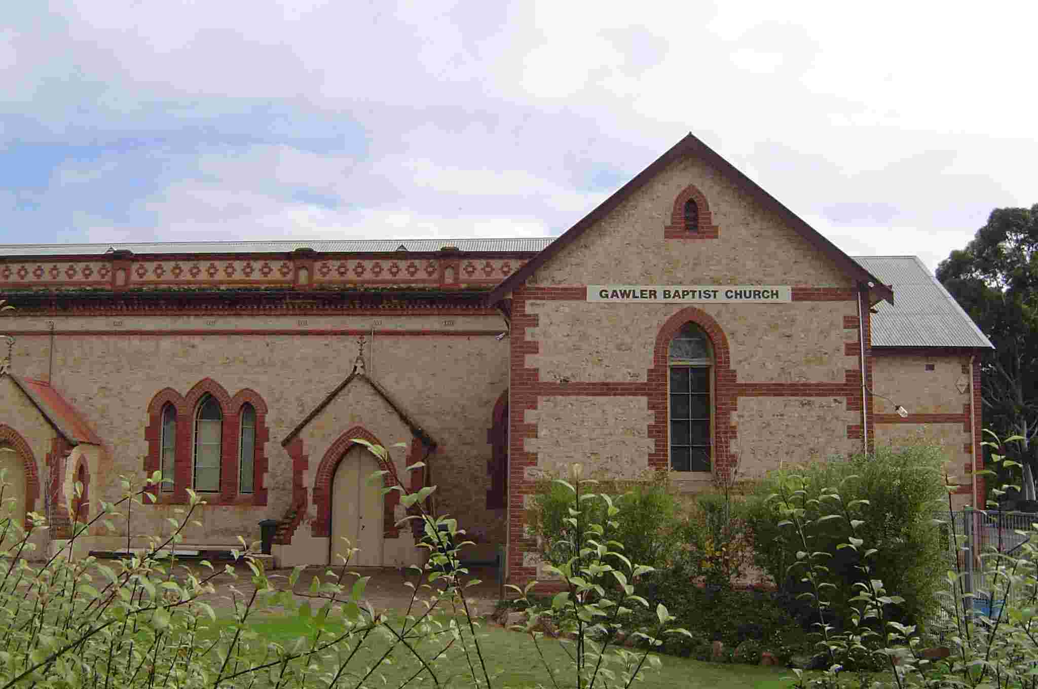
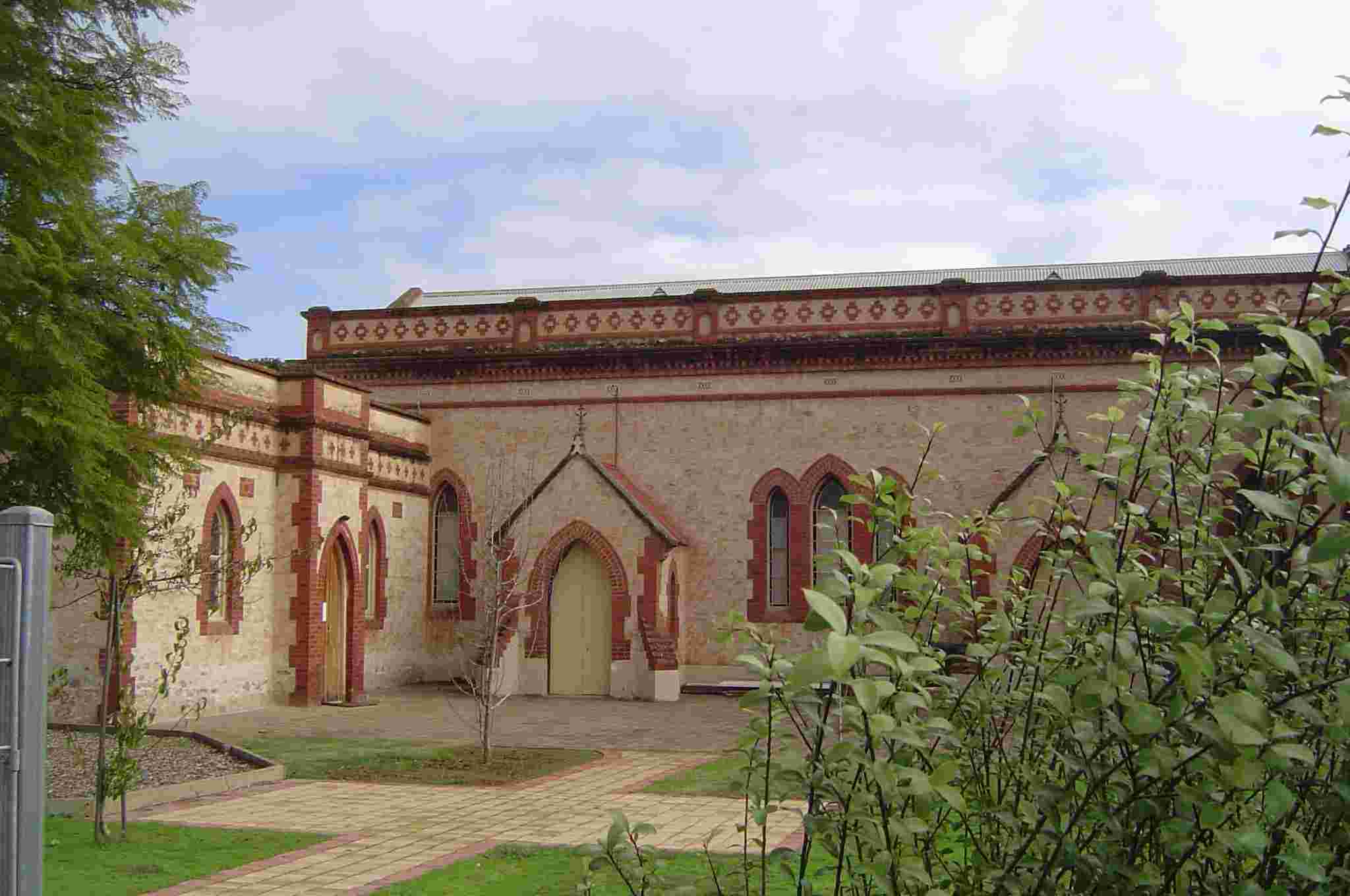
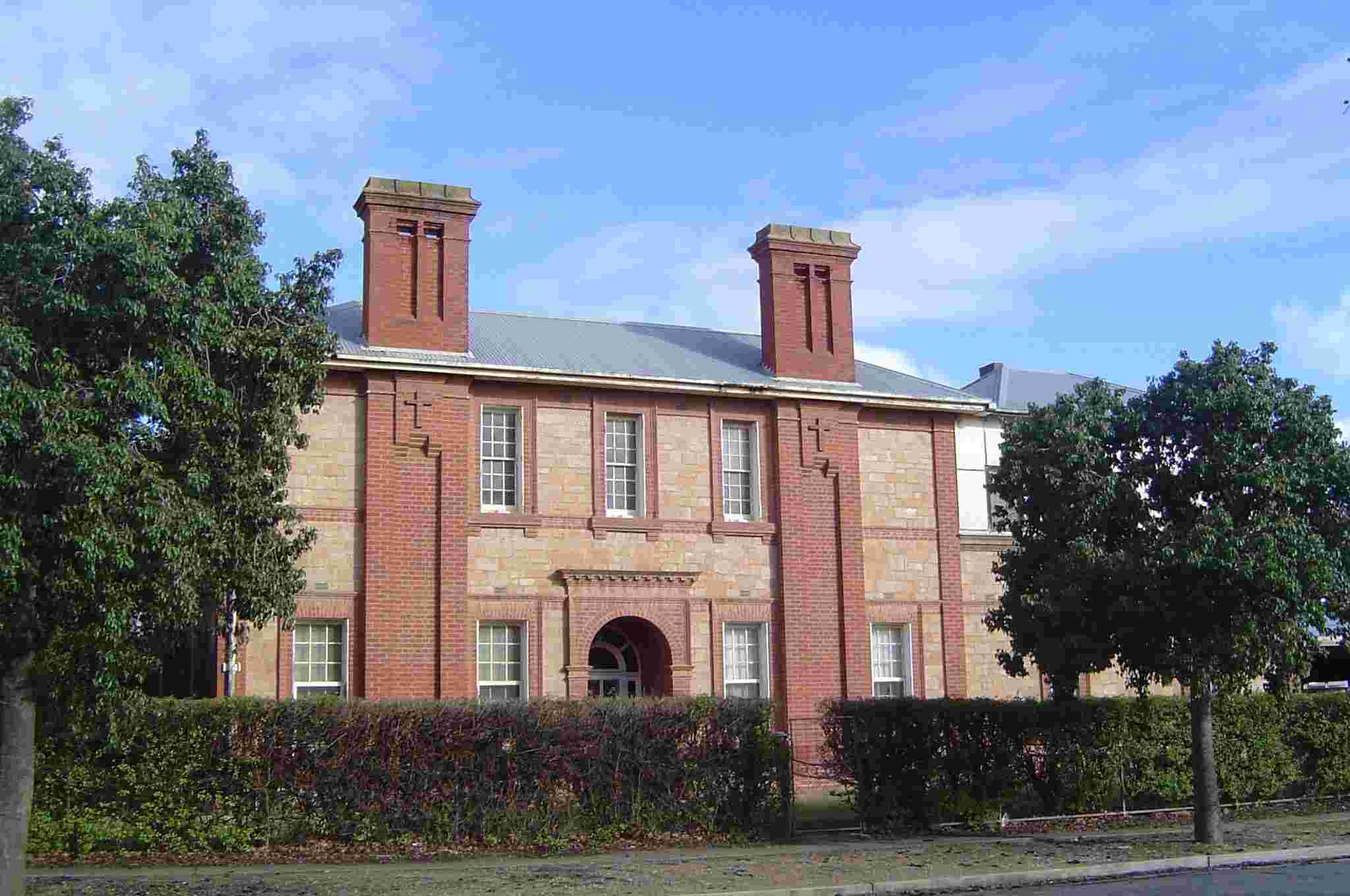
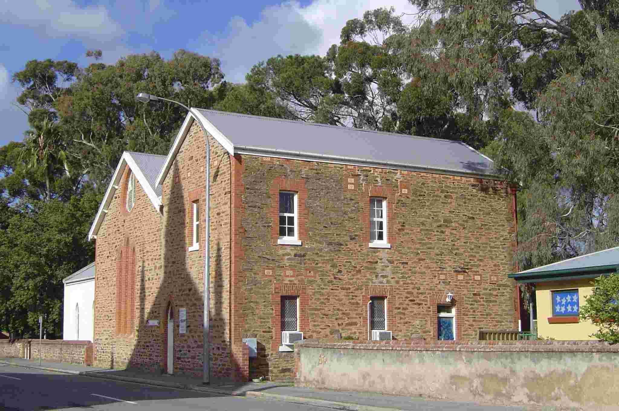
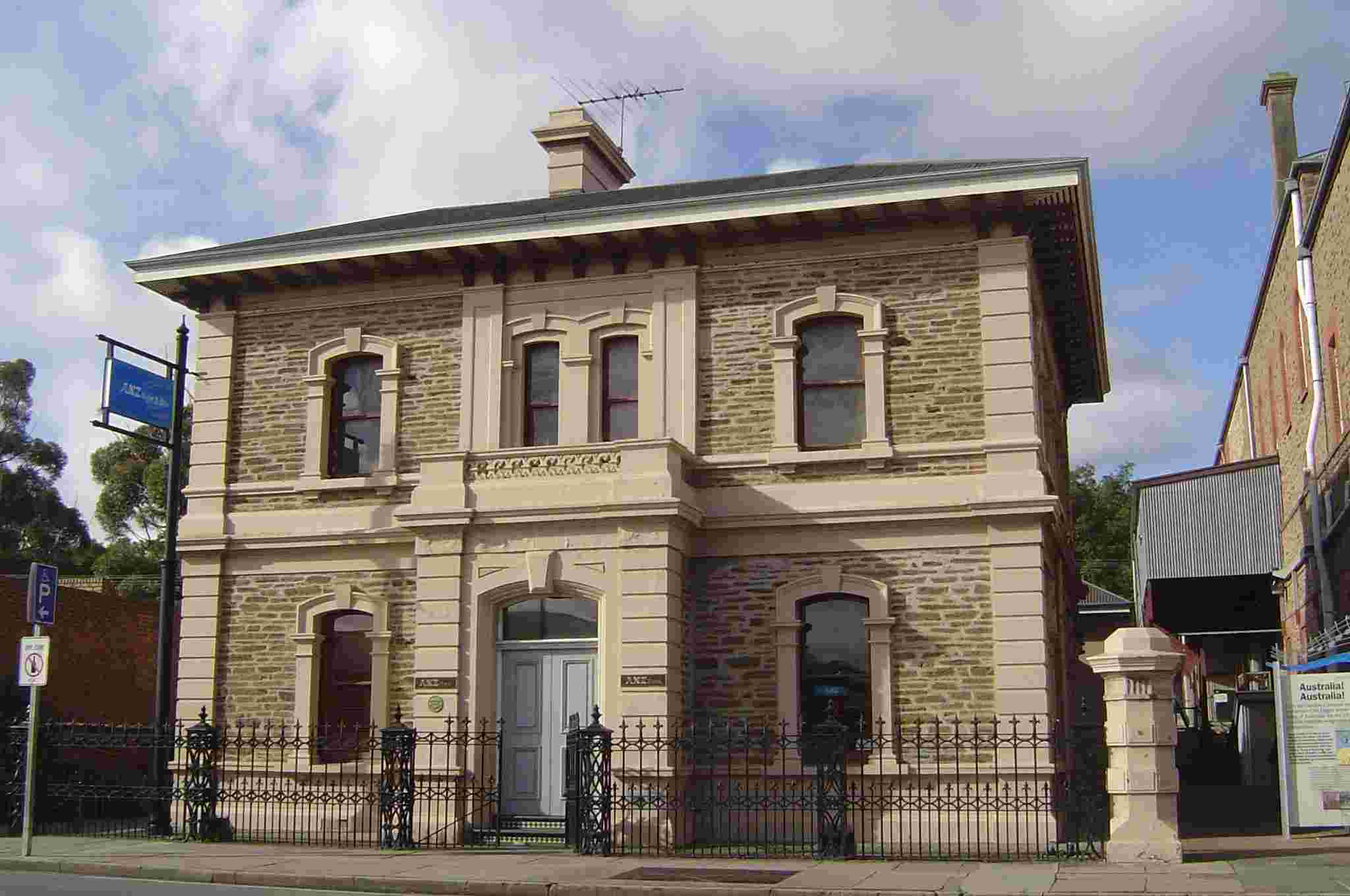
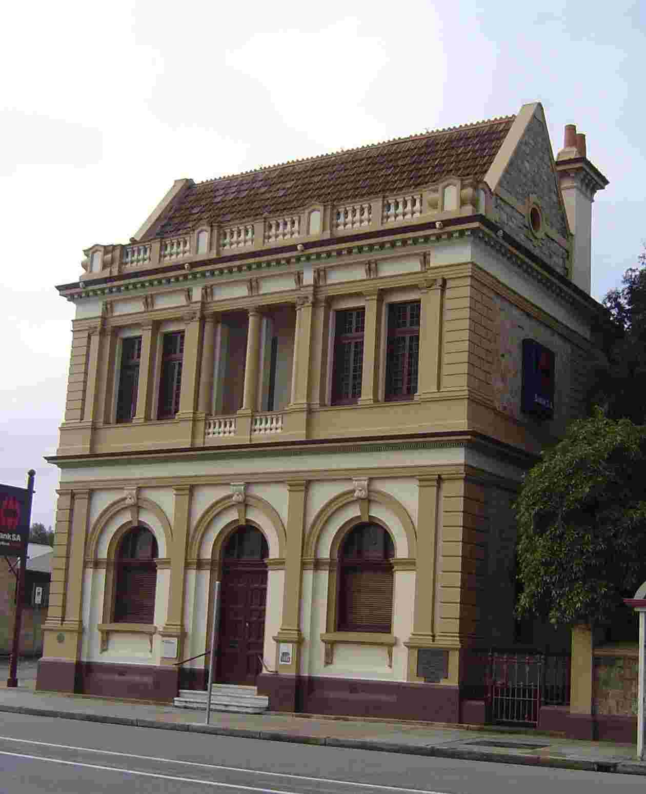
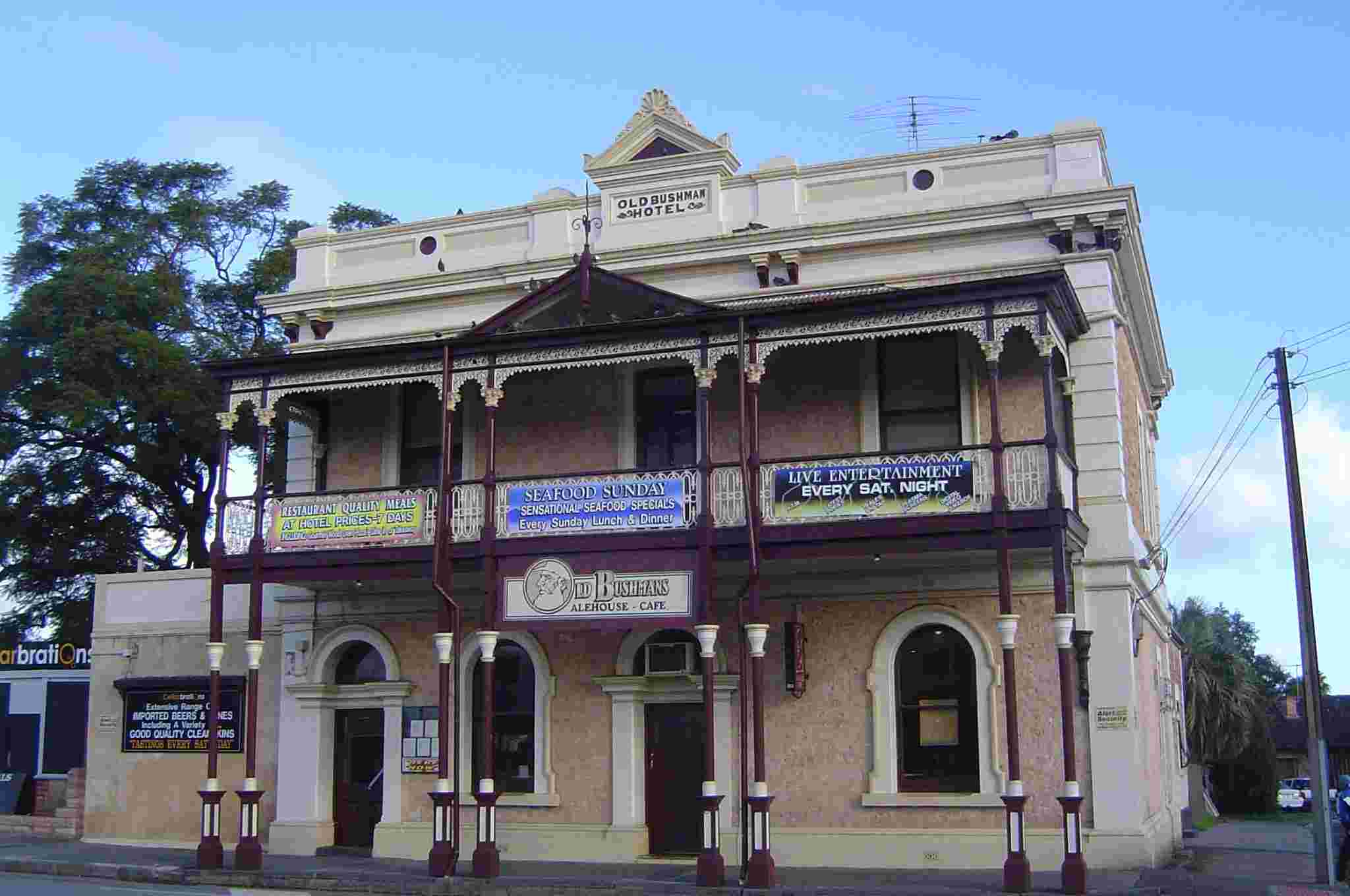
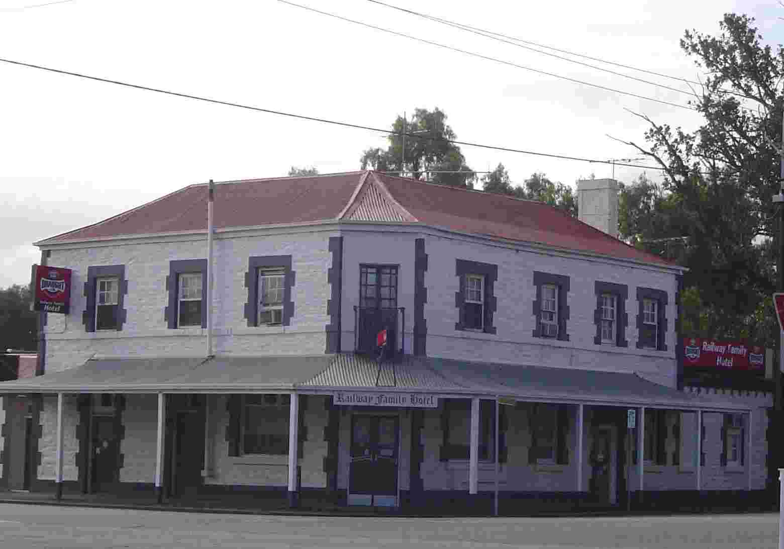
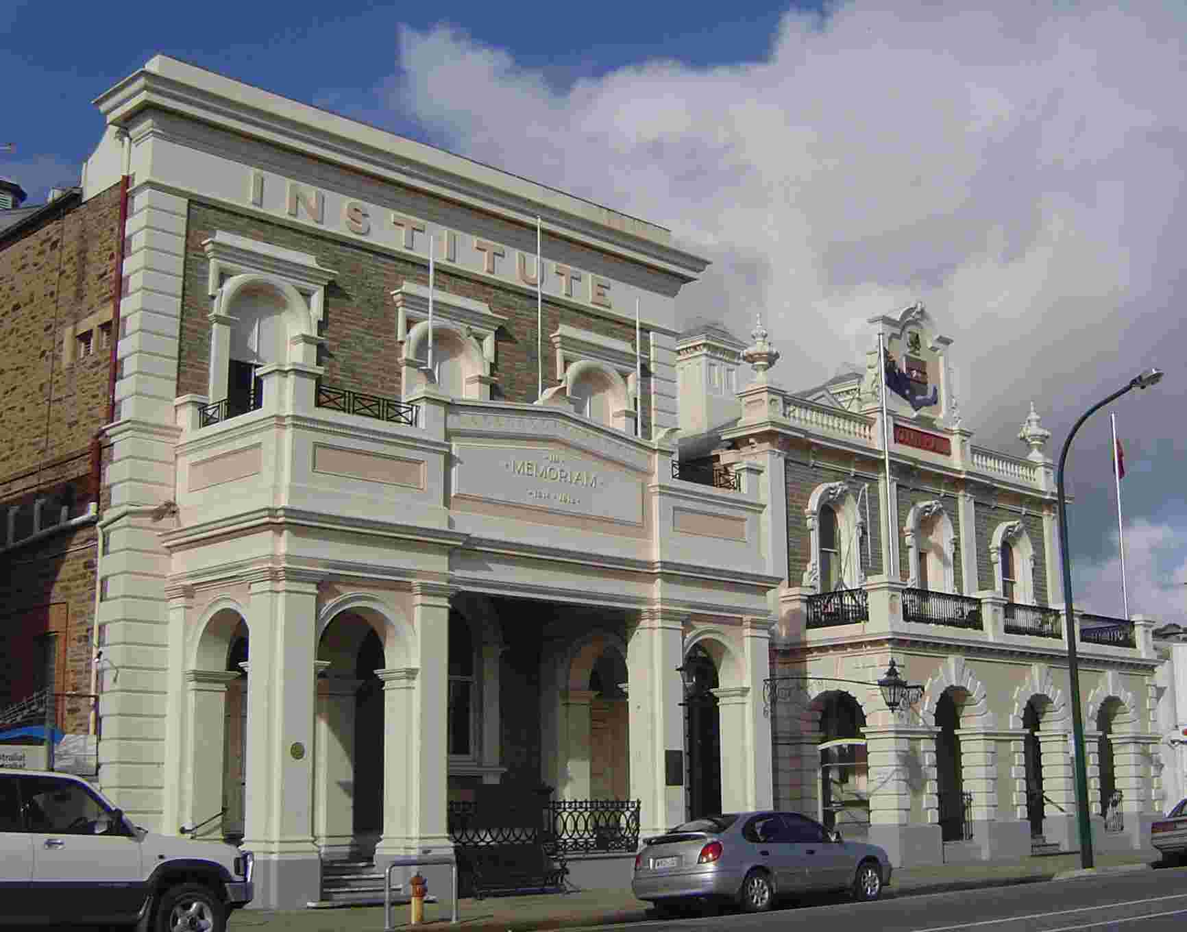
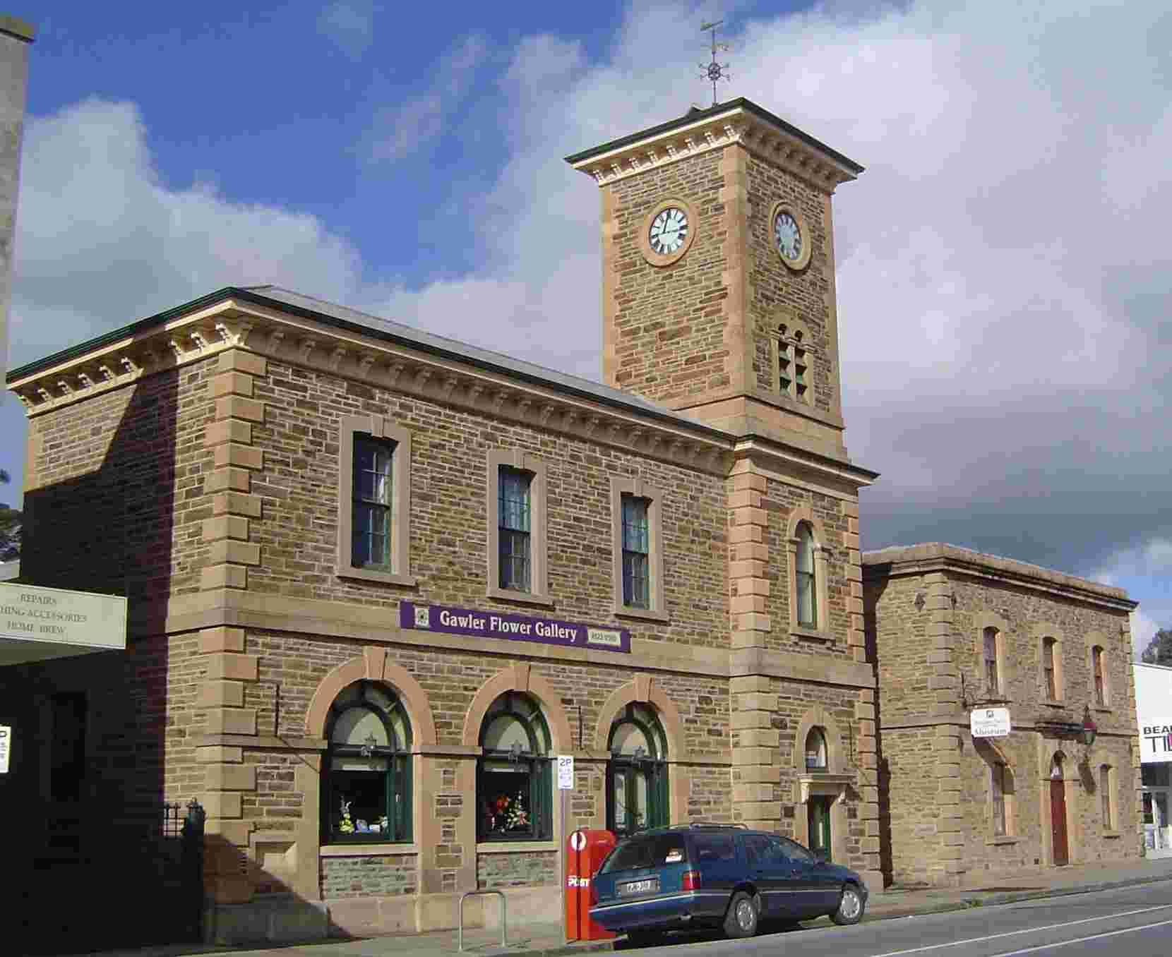
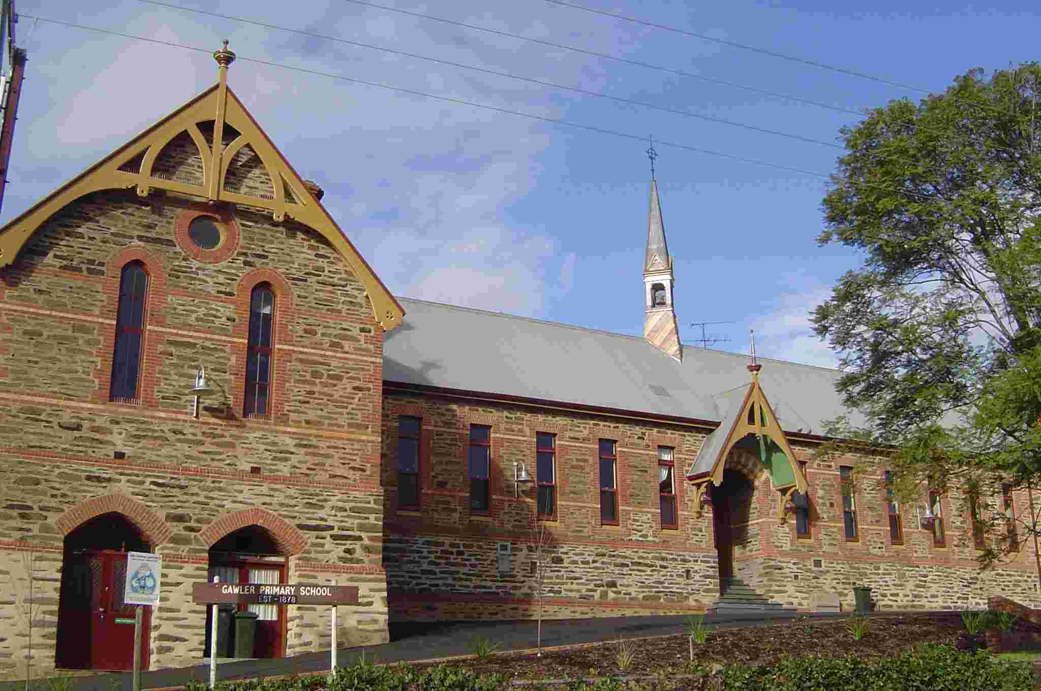
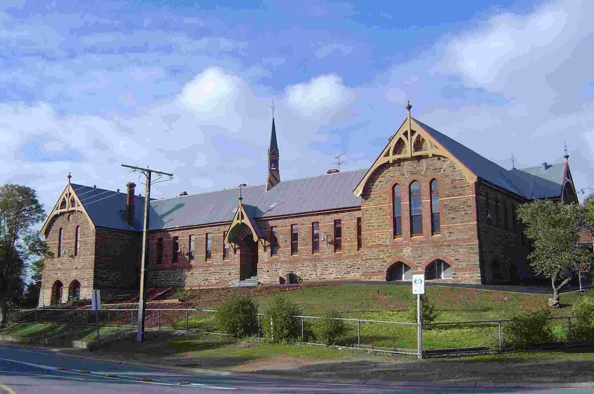
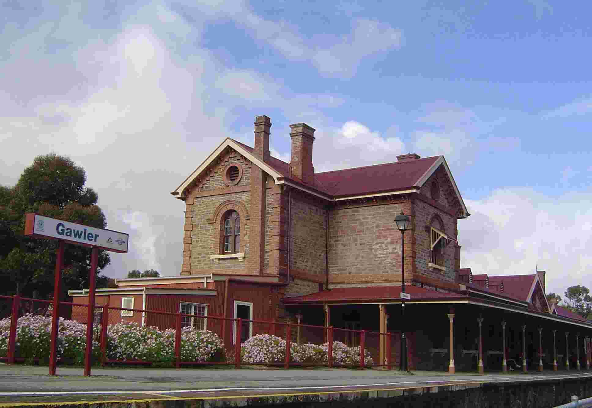
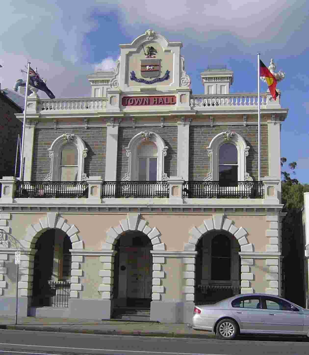
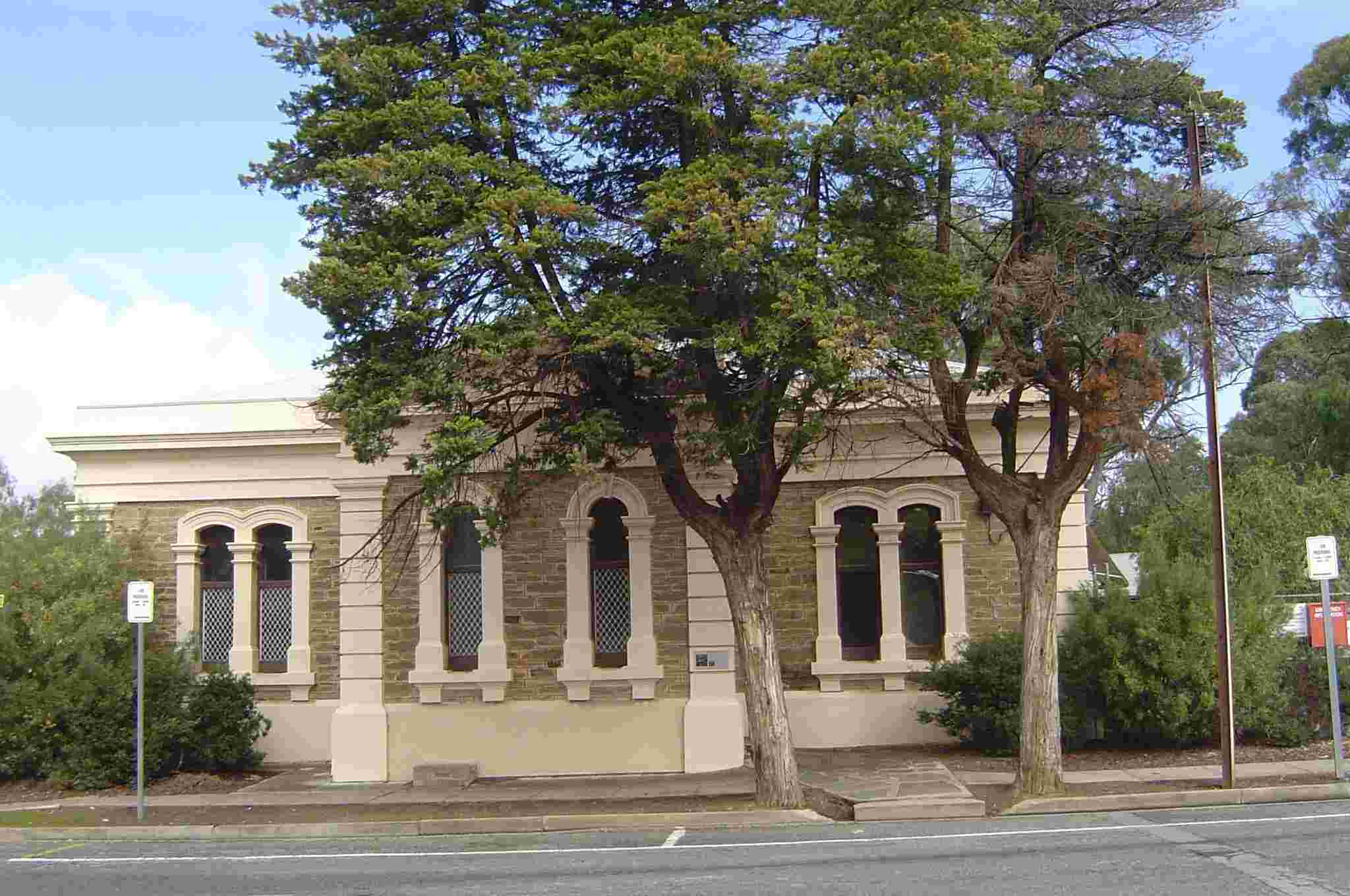
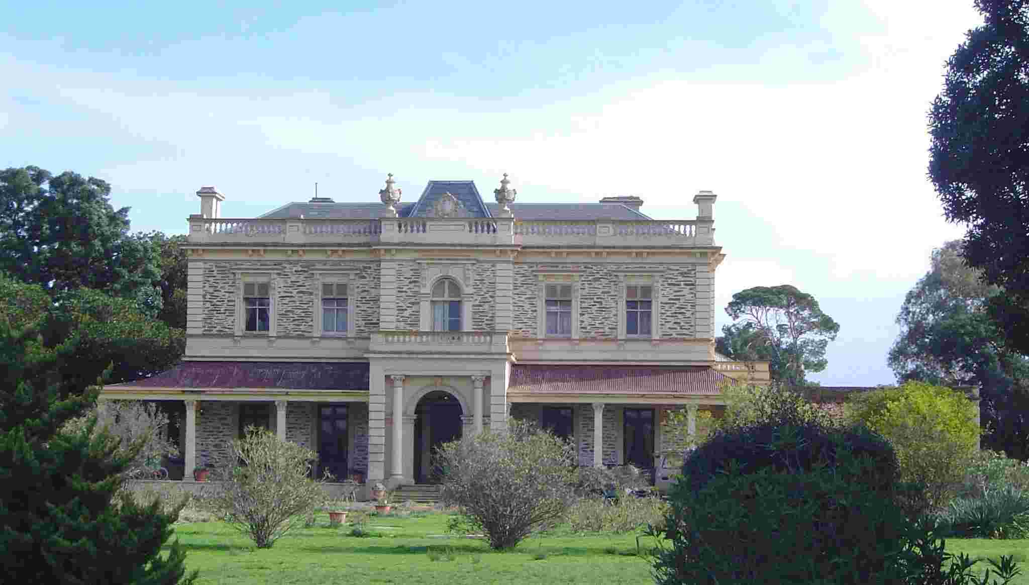
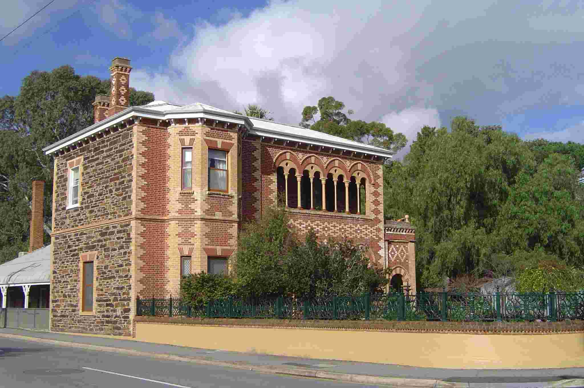
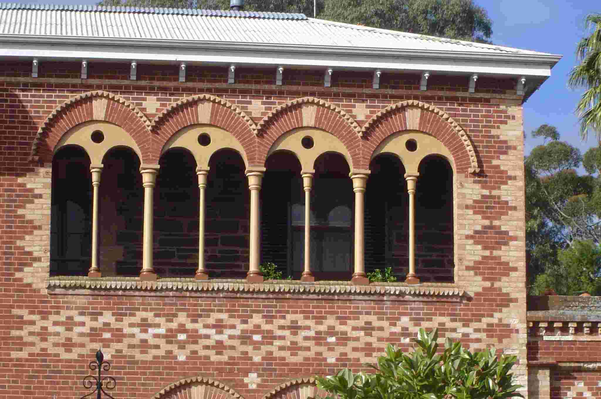
There is a magnificent legacy of Victorian architecture, both domestic and public, although the public buildings have often been swamped by the pressures of modern commercialism, especially in the town centre. Those architects of yesteryear drew heavily on the rich architectural heritage of Europe in designing their buildings. (See the photo of Tortola House for example).
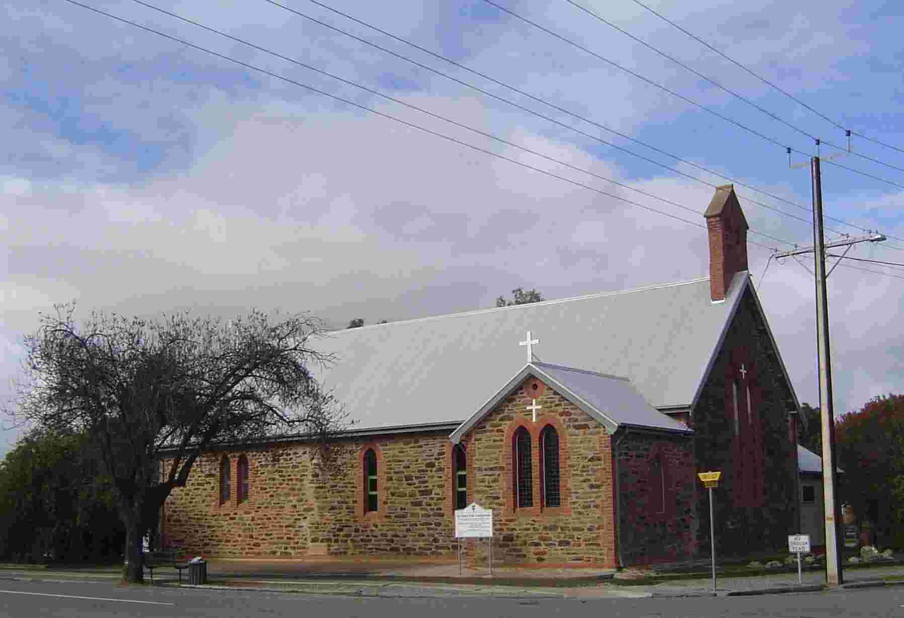
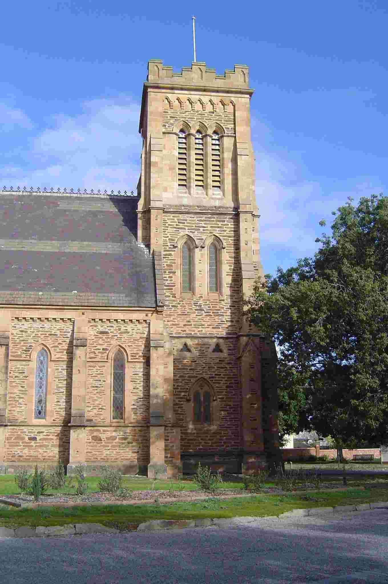
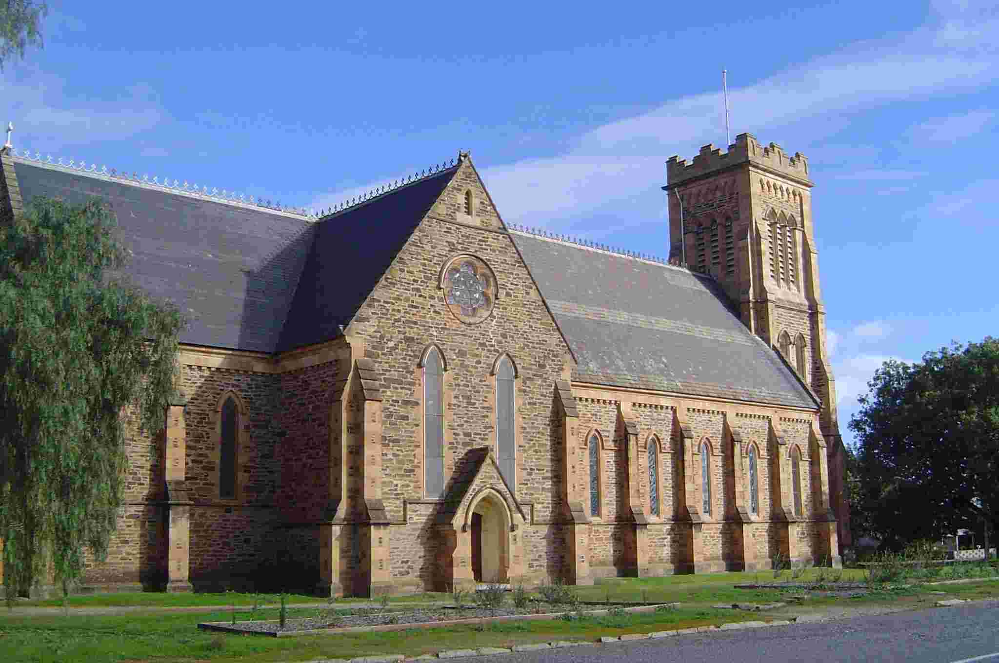
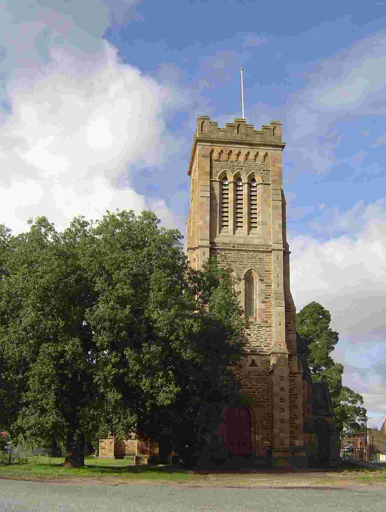
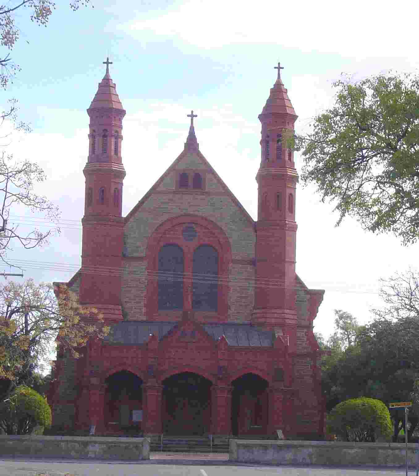
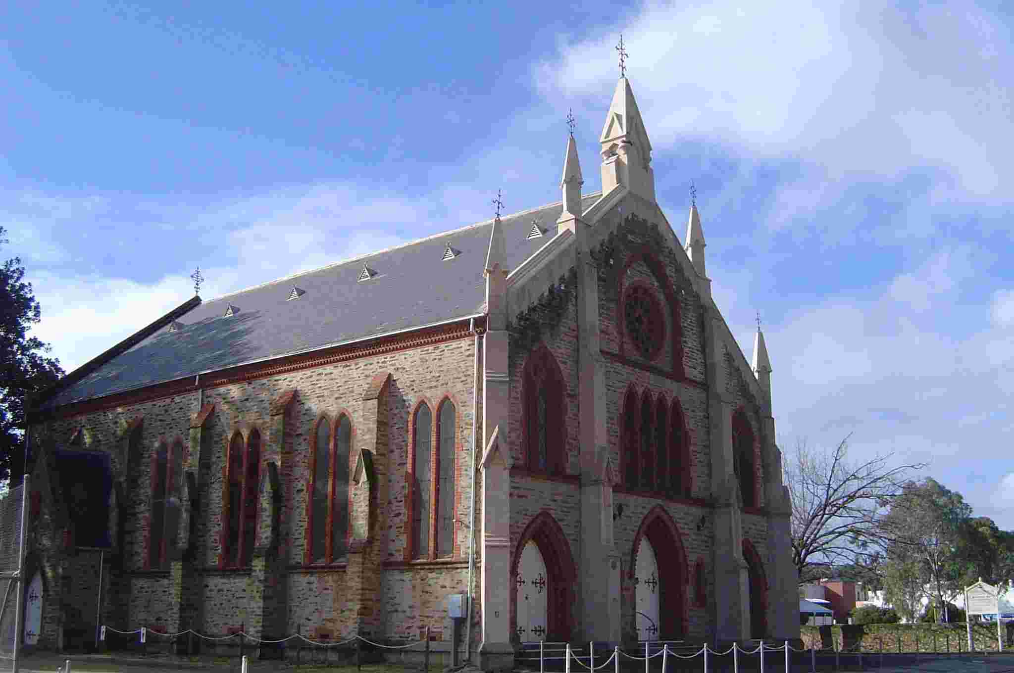
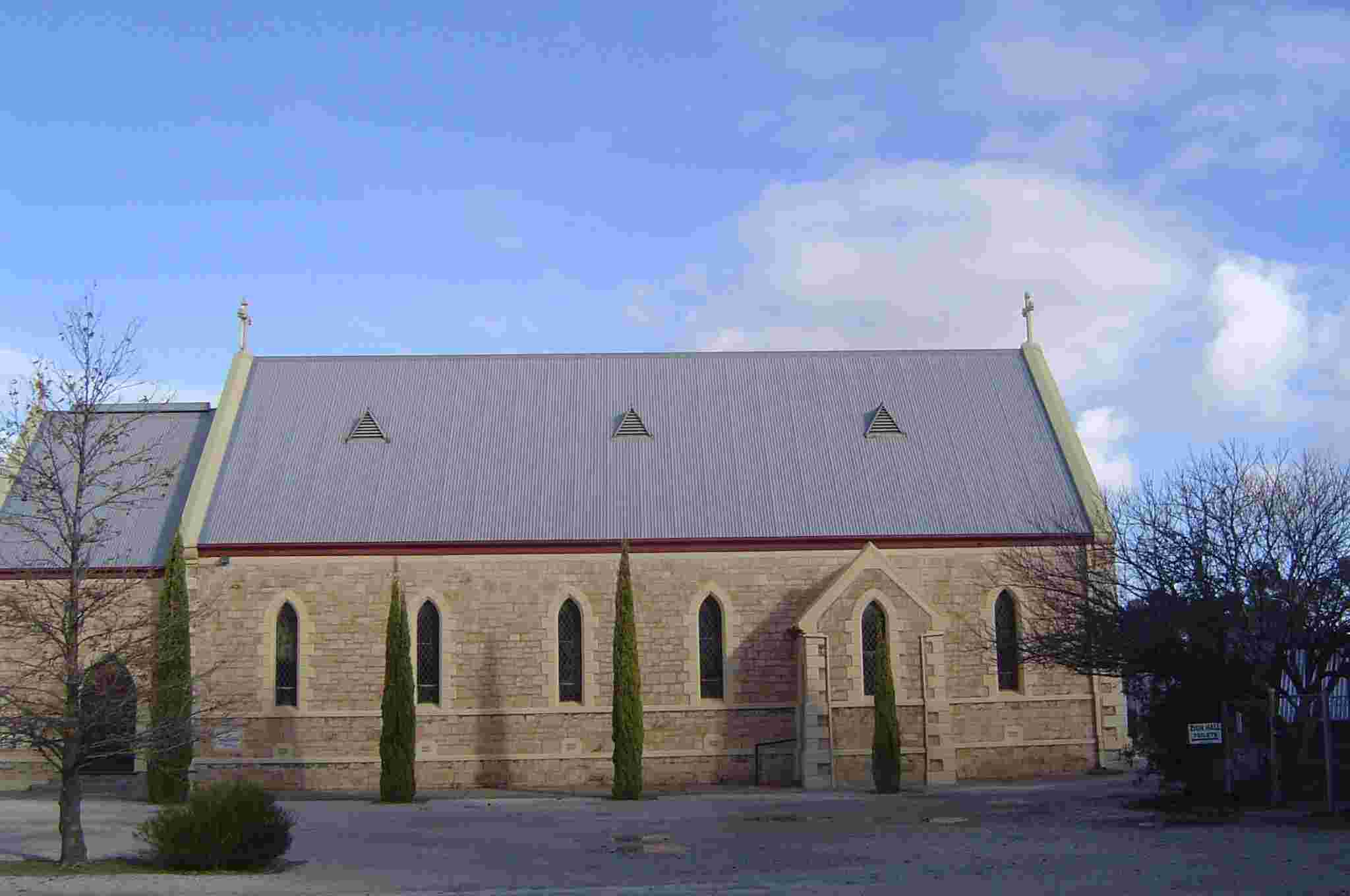
A little walking will easily establish Light's capacities as a town planner. The Council walking tour contains many colourful and informative display boards which add to the printed brochure. I especially love Cowan St. Colonel Light laid out three squares on Cowan St each of which was to have a church in its middle - the Catholic at one end, the Anglican in the middle and the Church of Scotland at the other end. The latter did not eventuate, but the first two now face each other down Cowan St. Somehow it symbolises the religious tolerance which the new colony prided itself on. This area - known as Church Hill - was proclaimed a State Heritage area in 1985 in recognition of its significance and integrity.
Click on a thumbnail to view the whole photo along with a description.
Click Here to return to the Photos index.
 |
 |
 |
 |
 |
 |
 |
 |
 |
 |
 |
 |
 |
 |
 |
 |
 |
 |
 |
 |
 |
 |
 |
 |
 |
 |